
The Skyscraper Museum is devoted to the study of high-rise building, past, present, and future. The Museum explores tall buildings as objects of design, products of technology, sites of construction, investments in real estate, and places of work and residence. This site will look better in a browser that supports web standards, but it is accessible to any browser or Internet device.
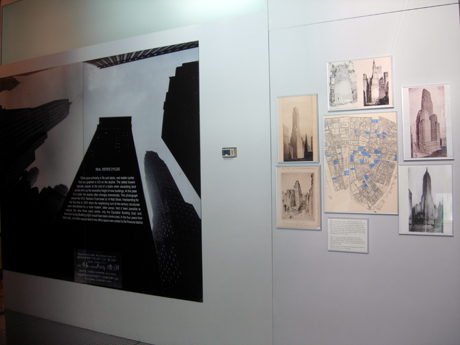
MAPPING REAL ESTATE VALUE
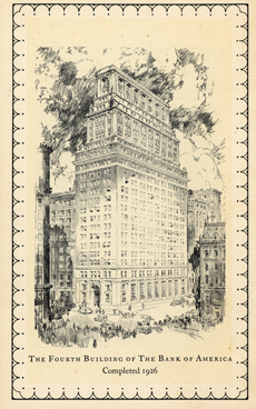
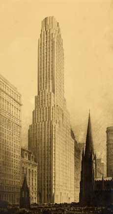
Bank of America Building, 1926
Given its high land values and strong demand for prime office space, Wall Street was surprisingly slow to give way to skyscrapers. But when the change came, the older structures collapsed as if on a fault line and were replaced by major towers of 50 to 70 stories. This map shows all the high-rises under construction in the financial district in the short span of peak of the 1920s building cycle, 1928 to 1931.
48 Wall Street
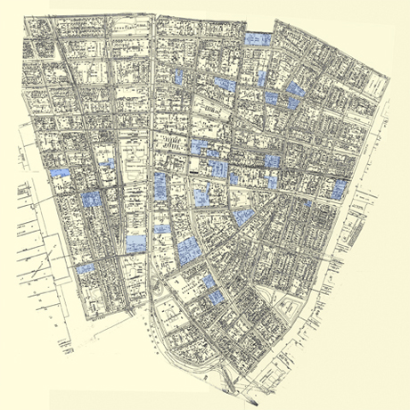
The base map is a 1927 land book with plates tiled together to cover the southern tip of Manhattan.
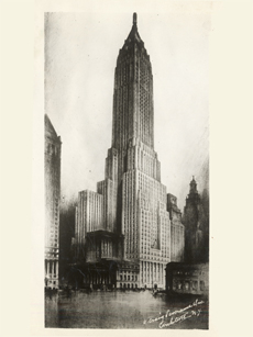
1 Wall Street
Pictured installed, above, are the major towers of 1928-1931 (clockwise from the top): Bank of America at 44 Wall and the Bank of New York at 48 Wall; 63 Wall; 40 Wall; 1 Wall/ Irving Trust Company; and the Equitable Assurance Company at 15 Broad Street, with an entrance at 35 Wall.
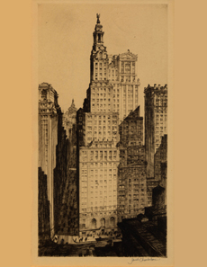
63 Wall Street, 1938
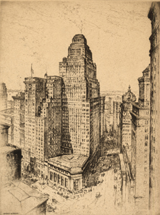
23 Wall Street, JP Morgan Building, Weiskopf collection
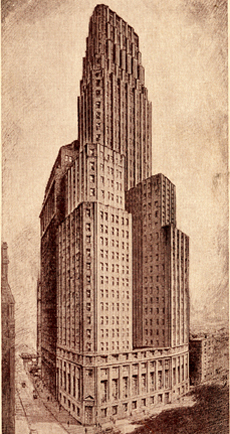
40 Wall Street